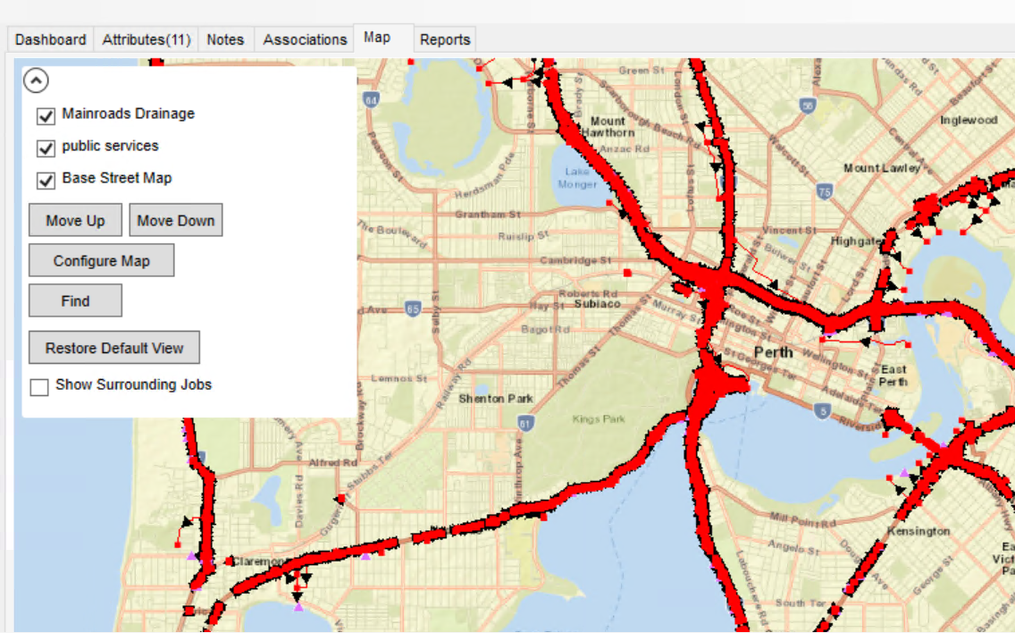
12d Synergy’s mapping can be configured to overlay many GIS types and open-source data layers, which include any of the following categories.
ArcGIS Server
ArcGIS Online Base Map
WMTS
Shape Files
KML / KMZ
For details about adding and configuring map layers, please read the 12d Synergy knowledge base here.
Open Source Data - Western Australia
Open source data is available throughout Australia, New Zealand and the world.
Listed below are some of the open-source data that can be utilised within 12d Synergy and 12d Model.
https://www.mainroads.wa.gov.au/technical-commercial/open-data-maps-apps/
https://mrgis.mainroads.wa.gov.au/arcgis/rest/services/OpenData/Drainage_DataPortal/MapServer
For more details about Mapping Layers, please access the 12d Synergy Knowledge Base.